|
|
Ah, winter. When the snows come, it's time to get out the old cross
country skis and head up into the mountains west of Boulder. Cross country
skiing is a great winter outdoor activity--more natural and cheaper than
alpine skiing or snowboarding and more exciting than snowshoeing.
This page is a collection of resources for cross country skiing in and
around Boulder, CO. This collection is by no means complete, but is as
accurate as I have been able to make it. Please feel free to send
suggestions, corrections or
comments to me via the contact page.
(Most recently updated on Jan 1 2014 [Added link to Boulder Army Store].)
Above is a map of trailheads to cross country ski areas and points of
interest on trails. Below is more
information. All pictures are about 200K in size and were taken in
early March, so are not indicative of snow conditions at other times.
- In and around Boulder (back to map)
-
Mostly in parks, especially North Boulder Park, after we get a good dump. Conditions info
here. Note that this is mostly skate skiing.
- Moffat Tunnel
-
There are actually two things to do here. You can go up the Heart Lake
trail which is steep and narrow in spots but I have seen people ski
there. The other option is to go up Rollins Pass.
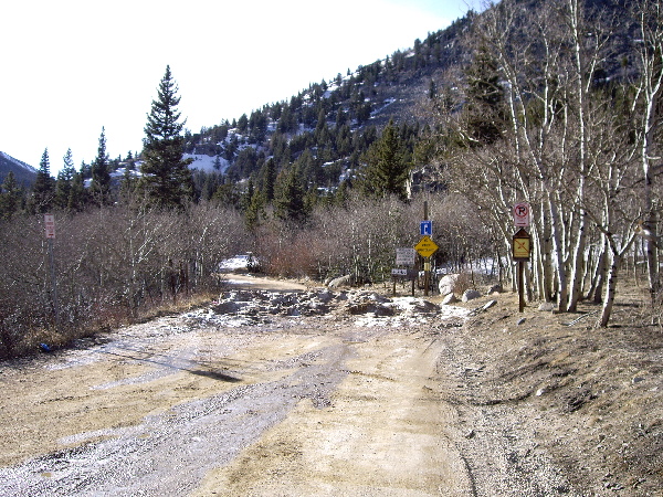
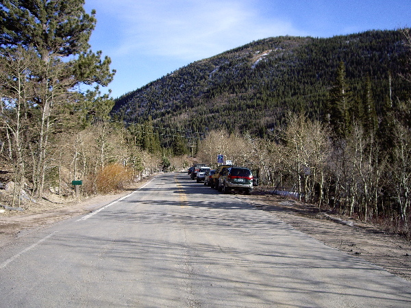
- Brainard Lake back to map)
-
Take the peak to peak highway north to Ward. Just 10 -20 yards past the
exit to Ward, take a left and go as far as you can. This road can be icy.
Here's a
map.
Lots of skiable terrain. Anything that can be hiked can probably be
skiied. Hear that a car shuttle from here to the Sourdough Trail by the CU
research center is a good day. You can ski the road, but if there isn't
fresh snowfall, the road is often windswept, hardpacked, or blown clear, so not the best
for skiing. The ski trail is more reliable, but does have some steep narrow
runs.
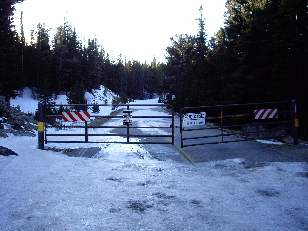
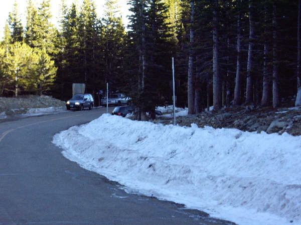
Update Jan 2012: The road is now closed a little below where it used to,
and there's a huge paved parking lot on the right just before you get to
the entrance station. There is an outhouse here, but it is closed in the
winter.
Images
- Sourdough trail (by CU research center) (back to map)
-
Take the peak to peak north from Nederland. About 20 minutes before Ward,
take a left into the CU Research Center. Drive for about 5-10 minutes,
then take your first left into a large parking lot (with bathroom
facilities).
To ski, cross the road you came in on, then head up the sourdough trail.
Tends to be pretty sheltered from the wind. Went skiing here in Nov and
the conditions weren't too bad. If you follow this trail north, eventually
you'll end up at the Brainard Lake trailhead.
Images
- Rollins Pass (back to map)
-
Take the peak to peak south from Nederland. In downtown Rollinsville, just
across from the grocery, turn left. Follow this road for about 6 miles.
You'll cross some railroad tracks, and then, about a quarter mile on,
there's a pulloff to the right. Park there, and head up the Rollins pass
road.
Some exposure to wind, though it tends to drift. Great views. Mild,
constant grade. This is a gentle uphill slope, exposed in places. Snowmobiles
sometimes too.
Images
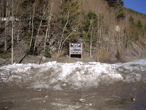
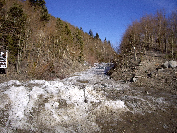
- CU research center / Niwot Ridge (back to map)
-
Follow above directions (for Sourdough) but
continue on the road past the parking lot to the end of the road.
To ski, head towards the right side of the Station, and continue up the
dirt road.
The road is steep at the start and also just before it ends. The road tends to have relatively poor
coverage in places (exposed, windblown). Luckily, there are snowmobile trails that wind through the
woods on either side of the road. These trails loop back to the main road.
The first one is on your left as you head uphill.
In addition, the road is almost groomed by the snowcats of the folks who
are doing research. If it's just snowed, it can be a nice ski down.
Images
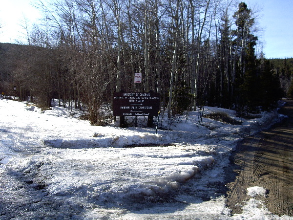
- Rainbow Lakes Junction (back to map)
-
Follow above directions (for Sourdough) but take your second left. You
actually need to park away from the junction as you can't park right at the
trailhead. You can sometimes park on the south side of the road a bit away
from teh junction.
Did this once, it was a bit windblown but was a nice gradual slope.
Images
- Peaceful Valley/Camp Dick
-
I visited this in Feb of 07, and there was a ton of snow. Peaceful Valley
is a camping area closer to the Peak to Peak, and Camp Dick is further
in (about 1.25 miles). There was so much snow we skiied on the road.
Very nice ski through a beautiful valley. There was not a ton of parking
available, as the entrance to Peaceful Valley was closed.
- Caribou
Never been. - Hessie / 4th of July Road (back to map)
-
From Nederland, head to Eldora (the town) and drive through it. At the
end of the road (where the plow stops), turn around and gear up. You are
skiing up the road to both Hessie and 4th of July. When you get to a fork
in the road, the left fork takes you to Hessie, the right to 4th of July
trailhead. Here's a map.
Hessie is level for a while, then has a pretty heinous hill
that tends to get windblown. 4th of July is usually pretty good, but is
either all up or down, not much level terrain.
Images
- West Magnolia
(back to map)
-
Just west of where Magnolia Road intersects the Peak To Peak Highway, there
is a number of mountain bike trails. You can park just off the Peak To
Peak, and wander around back there. I was just up there and the coverage
was pretty good, but we did a lot of circling around (make sure you take a
good look at the map at the trailhead). It's not bad for a 1-2 hour
romp in the snow.
A better option is to drive on the road heading off to the left (south) as
you pull off the Peak To Peak. This road is plowed (there are a number of
houses back here) and you can follow it back to 2-3 trailheads. The
coverage was good, and you can hop on roads (355 in particular) that take
you all the way to Rollins Pass, or just back to the YMCA camp 'Ora-Penn'.
Here's a 150kb picture of the
trailhead map. I marked some of the trailheads with a red dot.
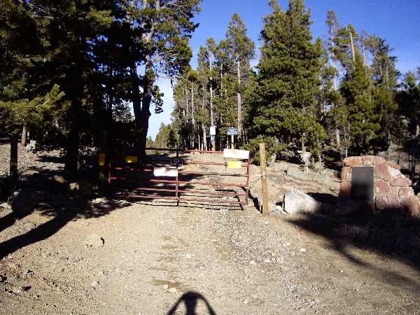
- Eldora Resort
-
Has its own trail network (not free) and also connections to Jenny Creek
trail and the Arestua CMC hut (free). Here's the Eldora Nordic Center website.
- Beaver Reservoir / Coney Flats
Never been. Anne Meacham wrote in and had this to say: "We went to
Beaver Reservoir our first time out and it was great. Plenty of parking,
rolling terrain, no access for snow mobiles." - Jenny Creek (back to map)
This is a fantastic trail, but difficult. It tends to be
consistently up or down, and not rolling like the trails at
Brainard Lake. However, there were far fewer people
on the trail on a beautiful Sunday day in February than you would encounter
at Brainard.
You start just
outside of the Eldora ski resort,
and actually cross some of the nordic
trail system. When I've been, coverage has been good, as you spend
most of your time in the trees. There is a hut (with an outhouse!) about five miles in, and
1600 feet higher than the trailhead. More
info on the Arestua hut.
You can actually take this trail all the way to Rollins Pass.
Here's an iPhone
GPS track of the Jenny Creek trail.
Images
- RMNP
-
Never been XC skiing here. Went snowshoeing by Bear Lake and it was a
good time. Rocky Mountain NP
website. Here's a survey of XC
ski trails in RMNP.
- CU's South Boulder Campus
-
I have skiied around this once or twice, when there's been a good snowfall
down in Boulder. It can be a little windy, but you can't beat the
approach. Best way to access is Table Mesa Dr to S Loop Dr (road heading south,
just west of I-36 entrance) and then take a right to the obvious parking
area.
A gentle introduction to cross country skiing
I recently (late March, 2009) received an email from someone who had found this page. She
said: I just (as of 24 hours ago) moved to Boulder from
Brooklyn and would very much like to learn how to/begin cross country ski.
I've never skied in my life, but figure now is the time and this is the
place to start.
If you don't mind me asking (and if you can pardon the ignorance), is the
sport something one must learn, or is it intuitive? Where would I go to
get the gear, and where should I start? Is the season over?
I would greatly appreciate a few pointers.
I answered her email (and thought it might be of interest to others):
Cross country skiing is very different than downhill
skiing--cheaper, more aerobic and more peaceful (though you can find hustle
and bustle too).  As in any sport, there are a number of different aspects.
Off the top of my head, there's skate skiing, racing and traditional nordic
skiing.  I've really only done the last one, so that will be reflected in
all my answers.

I grew up cross country skiing, so to me it is intuitive.  I've taught some
friends and two girlfriends to xc ski, so I can say with some authority
that it is not.  There are specific techniques (herringbone, snowplow) and
muscle movements (mostly balance, but some coordination) to learn.

I guess how you learn depends on your style.  You can definitely take
lessons at Eldora ( http://www.eldora.com/nordicCenter/index.cfm ) or other
nordic ski resorts.  One girlfriend did that and liked her increased sense
of control based on what she learned.

Another option would be to just rent some skis and head out to a trailhead.
Probably the best place to learn to ski around Boulder is on the road to
Brainard Lake.  It's flat (except for a hill at the start) and wide and
typically has snow if there's been recent snowfall.  (It rarely snows
enough in Boulder to xc ski--if it does, any flat park would be a great
place to learn.)

If you just want to get gear and start, you can rent skis at Neptune
Mountaineering, I believe (at least you could 4 years ago).  I have more
options for renting at the bottom of my XC ski page:
http://www.mooreds.com/writing/xc.shtml

You can also buy skis/poles/boots for between 50 and 100 bucks at Play it
Again Sports in south Boulder (at least, you could when I last looked a few
years ago).  You can probably get a pretty good deal right now, as the end
of the season is approaching.  Craigslist is another option.

The season would have been over except for the snow we've received in the
past week.  I haven't been up for a couple of weeks, but imagine that the
snow is pretty good right now.  Usually the season runs from Nov-Dec to
Mar-Apr, depending on snowfall in the mountains.
Links to informative websites (these open in a new window)
Books
- Peak To Peak: Colorado Front Range Ski Trails
- Winter Trails Of The Front Range
Places (in Boulder) to rent XC skis and snow shoes
Contributors
- This
article for reminding me about South Boulder ski options
- Miki Magyar for her update on Brainard Lake
- Anne Meacham for her description of Beaver Reservoir
- Dean Smith for his iPhone GPS trail
- Ian Sprod for comments
- Jimberg for the use of his GPS
- LA for the use of her digital camera
|